
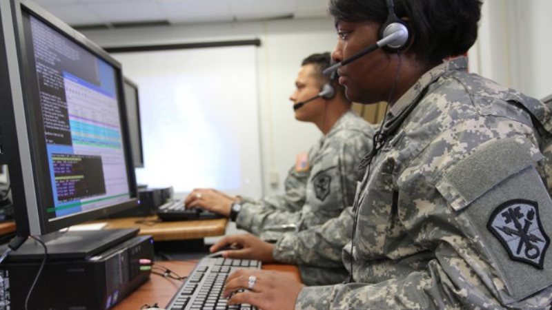
While many government agencies go all-in on cloud, the U.S. Army Corps of Engineers is turning to storage-as-a-service to deliver readily available maps to warfighters and modernize on-premise environments while cutting costs, a senior Corps official said on Aug. 21.
The hybrid approach allows the Corps to maintain control of sensitive mapping data, scale quickly, and avoid the high costs and connectivity limits of cloud-only solutions, George Ohanian, chief of the warfighter support directorate at the U.S. Army Corps of Engineers’ Army Geospatial Center, explained at ATARC’s Public Sector Application Modernization Summit.
“We’re on a road map to leverage cloud and on-prem, we are not going to divest of on-prem and go to full cloud,” said Ohanian. “There is a lot of data that resides in the cloud that’s relevant – we can move between the two.”
“The reason we do that is a lot of our tactical-level folks do not connect to the cloud,” Ohanian added, explaining that “they start connected at the top level, and then when we send them out, they’re using antennas to get data back and forth.”
Beyond supporting the warfighter, [storage-as-a-service] helps avoid costly and constant modernization efforts for on-prem solutions, Ohanian said, explaining that the Corps uses contract vehicles to buy storage-as-a-service “where the vendor is constantly doing updates on the hardware that we have.”
“We think that’s a good balance between having a buy around, throw it all away, do a new acquisition, throw it away,” explained Ohanian. “Storage-as-a-service has given us some opportunities to expand the amount of storage we have at a lower cost, while at the same time maintaining modernity … the vendor has given us that construct, within that paradigm.”
This is especially useful, because it reduces dependency on tight budgets that can hinder modernization, Ohanian said.
Using storage-as-a-service also allows the Corps to scale the petabyte of space that it procures, Ohanian explained that he can “ramp it up from two petabytes to 10 petabytes in a matter of days.” The service lets him have control over what goes in storage and enables him to disseminate it on other networks.
“We have three other networks that we also share data on, and so I have authority to move that,” said Ohanian, saying that while he’s able to data share using the cloud, it “becomes a little more complex,” and “is not as easy.”
Other modernization efforts the Corps has taken include using a new production construct to pull in open-source datasets while adding validation checks to ensure data integrity for tactical maps.
Ohanian said the Corps is also exploring artificial intelligence for geospatial applications, calling it a difficult but high-interest area where few organizations are currently working toward.