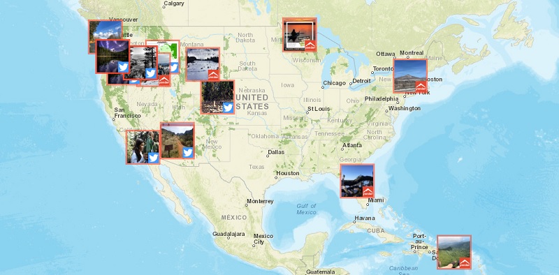
The U.S. Forest Service’s Visitor Map 2.0, an open data platform informing people what services national forests have to offer, received 22,000 unique page views during the month of February.
The platform, which encompasses every forest in the national forest system, contains information on roads, trails, and recreation sites. People can use it to research what trails can accommodate their horses or dirt bikes and what areas are handicapped accessible.
The recreation sites portion of the platform contains information on fishing, picnicking sites, and nature viewing points. The map also contains boundary information for wilderness areas. Monument information will be added to Visitor Map 2.0 soon, according to Donavan Albert, national Web manager at the Forest Service.
“Maps are one of the most requested products. Of the people who want to recreate, most searches are around camping and hiking,” Albert said. “Those are about 80 percent. Those are the biggies.”
The Forest Service launched its initial iteration of the Visitor Map in 2015. Visitor Map 2.0 was launched in late June 2016, and has garnered 190,000 unique page views since then. Albert said the newer map features a simplified user interface and incorporates social media content from Twitter and Yonder, a crowd-sourced app where people can post photos of the outdoors. Albert stated that every national forest has a presence on Twitter. The social media content is posted to Visitor Map 2.0 every two hours.
“As national forests publish new data, it will get updated that day,” Albert said. “It’s fairly timely.”
Visitor Map 2.0 covers 193 million acres, 158,000 miles of trails, and 24,000 recreation sites. This information needs to be updated frequently, as fires, landslides, and snow can render some sites inaccessible. The map, created through Esri’s ArcGIS software, projects data stored in the Forest Service’s Enterprise Data Warehouse. More than 600 ranger districts contribute to this warehouse.
The map also adds weather information distributed by the National Oceanic and Atmospheric Administration.
“If people are trying to plan an experience out to a national forest, they can see that real time information,” Albert said.
