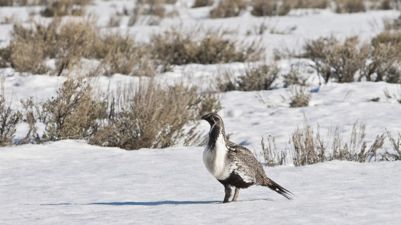
One Federal program has taken big steps toward saving the western habitats by using big data technology.
The U.S. Department of Agriculture’s Natural Resources Conservation Service (NRCS) has collaborated with the University of Montana and other organizations to use Google Earth Engine to create an interactive, online map tool that integrates layers of data to identify and pinpoint elusive species damaging the habitat.
Brady Allred, a rangeland specialist with University of Montana, built the free map tool for Sage Grouse Initiative (SGI) to capture and display 100 acres of geospatial data from eight western states.
“By focusing on such a large area we are able to provide the big picture–a better view of what’s occurring across boundaries, so each effort supports the greater goal and helps reduce future threats,” Allred said.
The tool’s Tree Canopy Level layer heavily monitors the spots where conifers invade and destroy sagebrush-steppe, a dry environment. The NRCS uses the information to locate and eliminate the conifer threat. A second map layer analyzes underlying soil temperature and moisture, which it uses to index the ecosystem’s resistance to cheatgrass.
This information goes toward assisting in the Sage Grouse Initiative 2.0, a four-year, $211 million investment strategy funded through the NRCS, which seeks to restore sagebrush habitat in 11 states through 2018. Each map layer creates a chart showing an individual threat outlined in SGI 2.0.
The NRCS has worked with ranchers since 2010 to protect more than 5 million acres of sagebrush.
“Bringing this data together in an easy-to-use online resource helps Federal, state, and private partners better target our work to restore and protect this vast landscape–supporting wildlife, rural economies, and the Western way of life,” said NRCS Chief Jason Weller, in a press release. “This is another great example of how using scientific data and technology makes partnerships like the Sage Grouse Initiative more effective.”
“SGI partners are in the process of adding more data layers of value to the application based on input from our partners,” said NRCS Ecological Sciences Division director Terrell Erickson, in a press release. “This is just the first step.”
