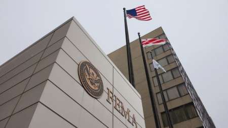
The Federal Emergency Management Agency (FEMA) mistakenly shared with an unnamed contractor sensitive personal data on 2.3 million victims of several recent hurricanes and California wildfires, the agency’s Office of Inspector General said in a March 15 report. […]
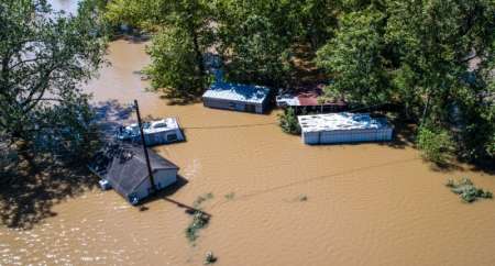
The Federal Aviation Administration issued a total of 132 airspace authorizations to drone users as of Sept. 15 to assist in Hurricane Irma recovery efforts, and 137 authorizations to assist in Hurricane Harvey recovery efforts. The Air National Guard used drones to assess disaster-stricken areas quickly and decide where to send resources. […]
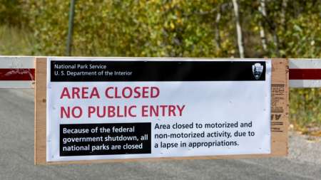
As Congress approaches its Oct. 1 deadline for funding the Federal government, employees and contractors can stay prepared by knowing what to expect in the event of a shutdown. […]
Direct Relief, a humanitarian organization that delivers medical supplies to crisis areas, uses Esri mapping technology and data to send resources to Houston during Hurricane Harvey. Direct Relief uses data layers from the Census, the National Weather Service, and other open data platforms to target where certain medical supplies such as inhalers and other medications will be needed. […]


